The blue island · Central group
Faial
Faial has the Caldeira rim walk and Horta’s painted quay. This 173 km² island has flights from Lisbon and other islands. Ferries arrive at Horta.
Faial facts
- Island group
- Central, across the channel from Pico
- Airport
- Faial (HOR)
- Area
- 173 km²
- Highest point
- Cabeço Gordo, 1,043 m
- Population
- about 14,334
Faial weather now
Observed 6 October 2026 at 19:00, Azores timeCabeço Verde the uplands, 517 m
17.8° · 90% hum.
Alto do Cabouco the uplands, 858 m
14.9° · 95% hum.
Aeroporto the airport, by the sea
21.8° · 73% hum.
Horta the coast
21.8° · 73% hum.
Weather differs between the coast and the uplands. 6.9 °C between the warmest and the coolest station right now. Four IPMA stations on Faial.
Places on Faial
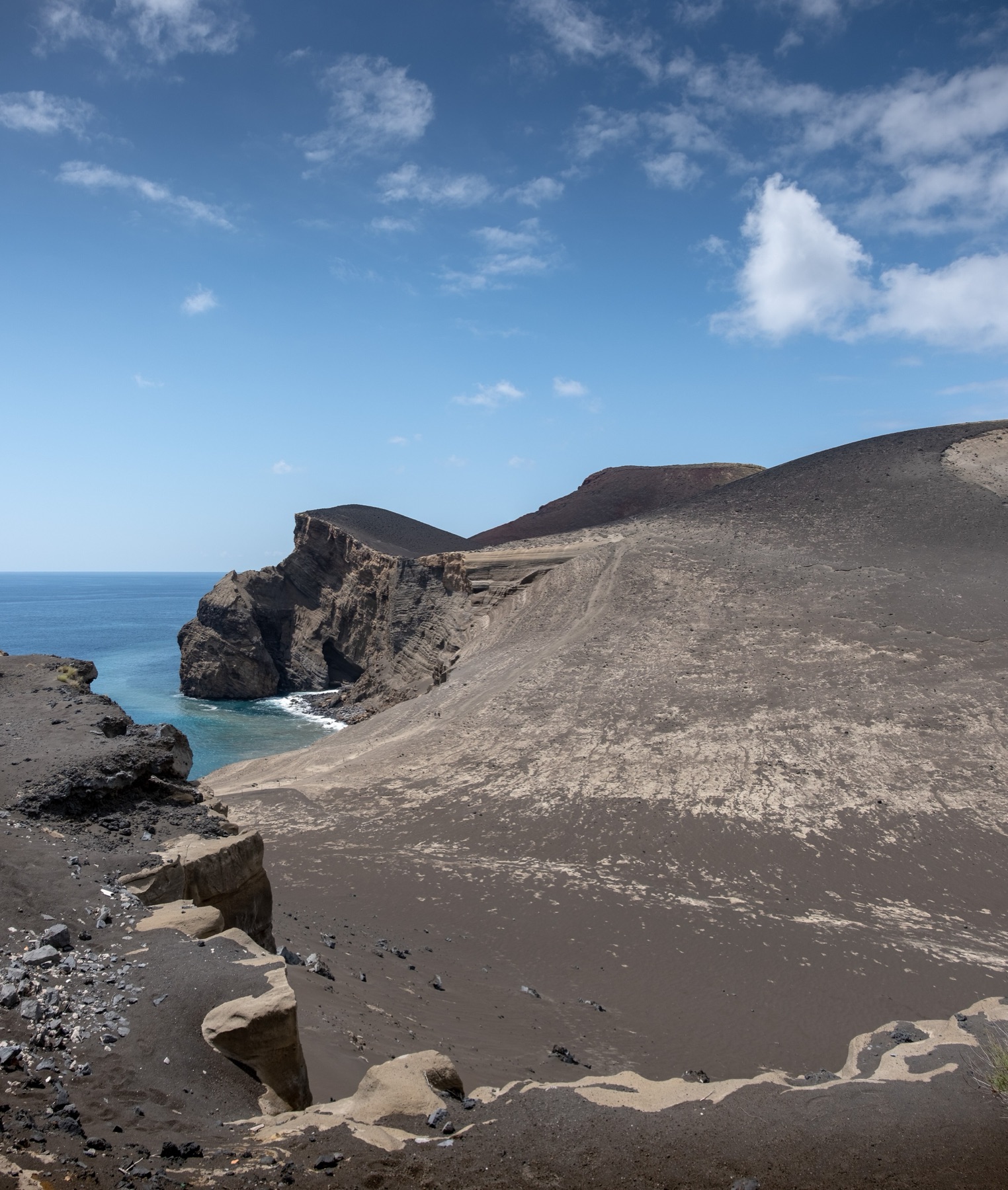
Capelinhos
Capelinhos rose from the sea at Faial’s western end. Its interpretation centre is underground.
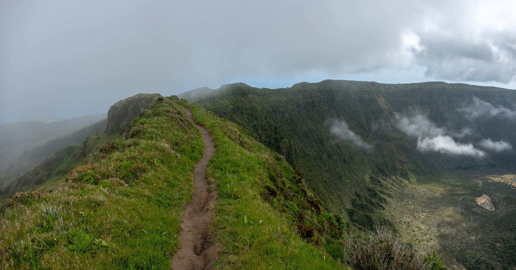
The Caldeira
The Caldeira is a crater 2 km across in central Faial. You can walk around its rim.
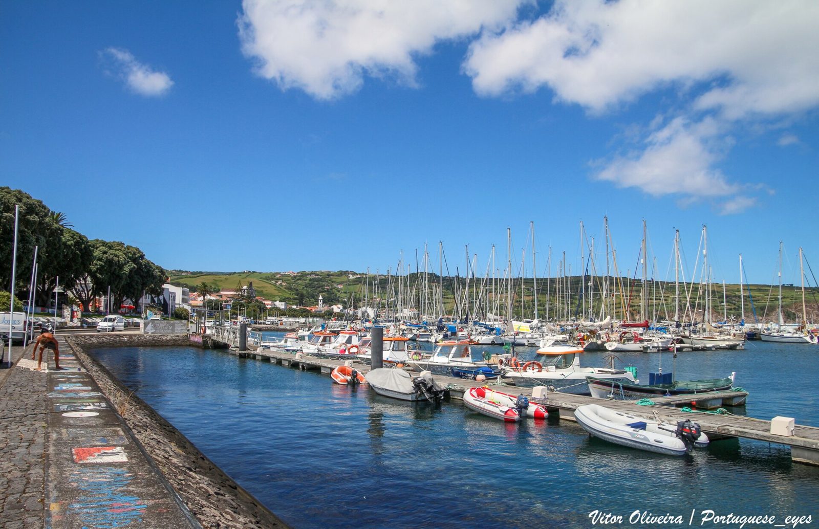
Horta marina
Sailing crews paint the quay at Horta’s yacht harbour. Peter Café Sport is across the road.
Tours from Faial
Walks on Faial
11 of 11 marked routes open right now, read from the regional trail network on 6 October 2026.
How to get to Faial
By air
Faial Airport (HOR) has Azores Airlines flights from Lisbon. SATA Air Açores flies from Corvo, Flores, Ponta Delgada and Terceira.
Between the islands
Atlânticoline calls at Horta, Faial’s ferry port.
Plan your visit
Getting around
I’d group Horta marina with Peter Café Sport across the road. Plan separate visits to the central Caldeira and western Capelinhos. For linear walks such as Dez Vulcões, plan your return journey.
How long to stay
I’d keep the longer walks separate from your harbour visit. Dez Vulcões takes 5 hours over 19.3 km. Add time for the Caldeira rim if you want another walk.
Best time
All eleven marked trails are open now. I’d check the live readings before choosing a Caldeira walking day.
Roman Antonov, editor
I live in Portugal and I love these islands. The weather here is read live from IPMA stations; prices and tour details come from Viator, dated on each page.