The yellow island · Eastern group
Santa Maria
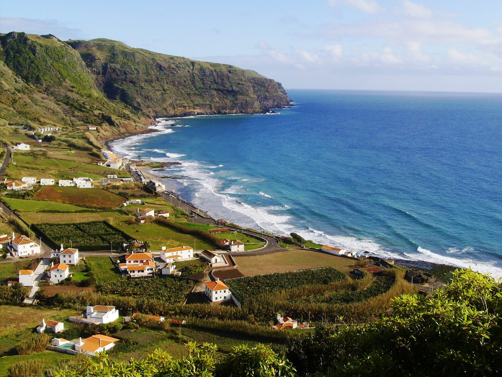
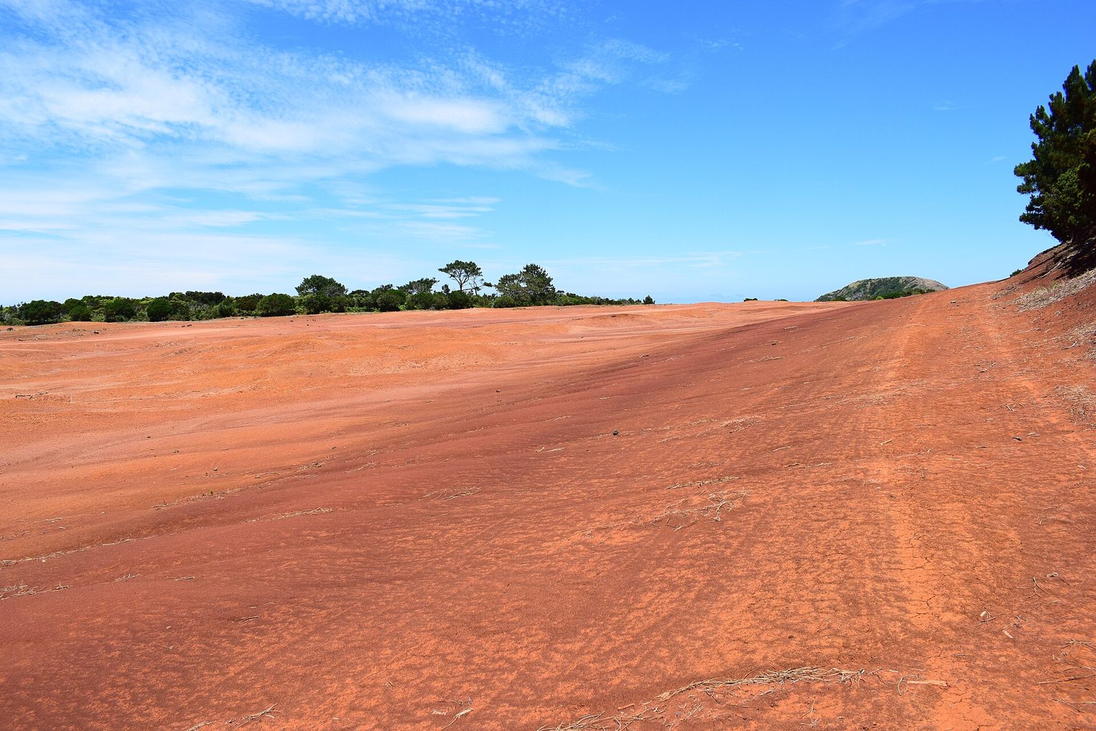
Santa Maria has sandy Praia Formosa and the red clay of Barreiro da Faneca. The island covers 97 km². Fly from Lisbon or Ponta Delgada.
Santa Maria facts
- Island group
- Eastern, with São Miguel
- Airport
- Santa Maria (SMA)
- Area
- 97 km²
- Highest point
- Pico Alto, 587 m
- Population
- about 5,408
Santa Maria weather now
Observed 6 October 2026 at 19:00, Azores timePraia Formosa inland, 184 m
20.8° · 73% hum.
Maia inland, 212 m
20.0° · 75% hum.
Santa Maria the coast
21.3° · 67% hum.
Weather differs between the coast and the uplands. 1.3 °C between the warmest and the coolest station right now. Three IPMA stations on Santa Maria.
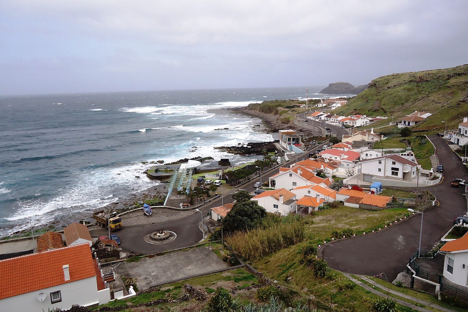
Places on Santa Maria
Tours from Santa Maria
Walks on Santa Maria
5 of 7 marked routes open right now, read from the regional trail network on 6 October 2026.
- open
Grande Rota GRC01SMA
Circular, medium, 28 h 30 min · 78.6 km
- open
Areia Branca PR06SMA
Linear, medium, 4 h 30 min · 11.7 km
- open
Entre a Serra e o Mar PRC03SMA
Circular, medium, 2 h 30 min · 9.3 km
- open
Costa Norte PR01SMA
Linear, medium, 4 h · 8.4 km
- open
Pico Alto PRC02SMA
Circular, medium, 2 h · 6.2 km
How to get to Santa Maria
By air
Santa Maria Airport (SMA) has Azores Airlines flights from Lisbon.
Between the islands
SATA Air Açores flies from Ponta Delgada to Santa Maria. Santa Maria has no ferry link.
Plan your visit
Getting around
Santa Maria is 16.6 km long. It is 9.1 km wide. I’d plan around Praia Formosa in the south and Anjos in the north.
How long to stay
The Pico Alto walk takes 2 hours. It is a 6.2 km circuit. I’d stay longer for the 78.6 km Grande Rota.
Best time
I’d check Praia Formosa’s weather before planning beach time. Check trail status before choosing your walks.
Roman Antonov, editor
I live in Portugal and I love these islands. The weather here is read live from IPMA stations; prices and tour details come from Viator, dated on each page.