The brown island · Central group
São Jorge
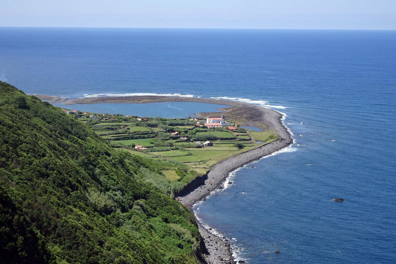
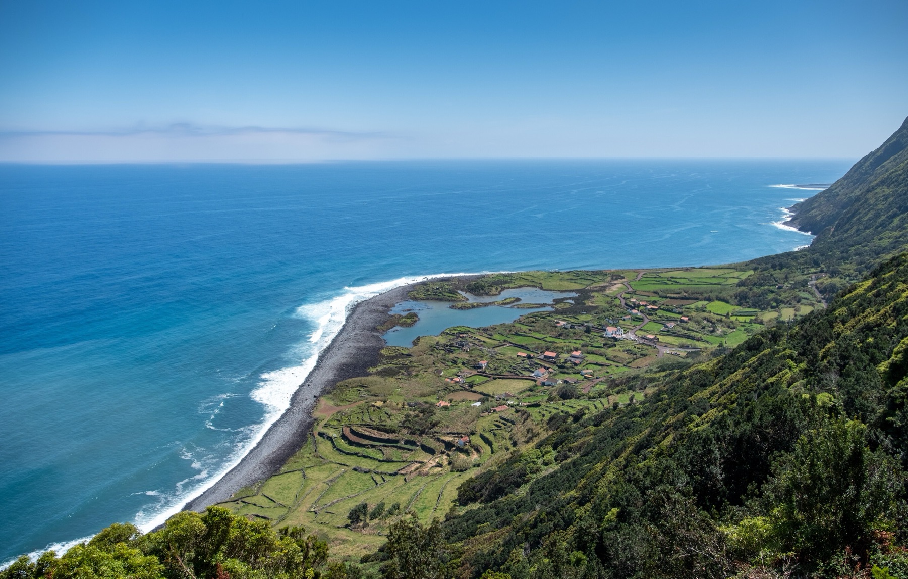
São Jorge has the lagoon fajãs of Santo Cristo and Cubres. The island is 56 km long. Fly from Ponta Delgada or Terceira, or arrive by ferry.
São Jorge facts
- Island group
- Central, between Graciosa, Pico and Terceira
- Airport
- São Jorge (SJZ)
- Area
- 244 km²
- Highest point
- Pico da Esperança, 1,053 m
- Population
- about 8,373
São Jorge weather now
Observed 6 October 2026 at 19:00, Azores timePico do Areeiro the uplands, 869 m
14.6° · 98% hum.
São Jorge the coast
21.6° · 71% hum.
Weather differs between the coast and the uplands. 7.0 °C between the warmest and the coolest station right now. Two IPMA stations on São Jorge.
Places on São Jorge
Tours from São Jorge
Walks on São Jorge
9 of 11 marked routes open right now, read from the regional trail network on 6 October 2026.
- open
Grande Rota de São Jorge GR02SJO
Linear, hard, 15 h · 52.9 km
- open
Grande Rota de São Jorge GR01SJO
Linear, hard, 11 h 30 min · 39.3 km
- open
Pico do Pedro - Pico da Esperança - Fajã do Ouvidor PR04SJO
Linear, medium, 4 h · 16.9 km
- open
Norte Pequeno PRC06SJO
Circular, medium, 3 h · 10.9 km
- open
São João - Lourais - Fajã dos Vimes PR03SJO
Linear, hard, 3 h 30 min · 9.6 km
How to get to São Jorge
By air
SATA Air Açores flies to São Jorge Airport (SJZ) from Ponta Delgada and Terceira.
Between the islands
Atlânticoline ferries call at Velas and Calheta.
Plan your visit
Getting around
São Jorge is 56 km long and 6 to 8 km wide. Fajã dos Cubres has road access. You reach Santo Cristo on foot.
How long to stay
The 10.9 km Norte Pequeno circuit takes 3 hours. I’d allow separate time for Santo Cristo’s lagoon.
Best time
Summer temperatures average 25 °C. Winter temperatures average 12 °C. I’d check Pico do Areeiro’s live reading before a walk.
Roman Antonov, editor
I live in Portugal and I love these islands. The weather here is read live from IPMA stations; prices and tour details come from Viator, dated on each page.