São Miguel
Lagoa do Fogo
Lagoa do Fogo is a crater lake in central São Miguel.
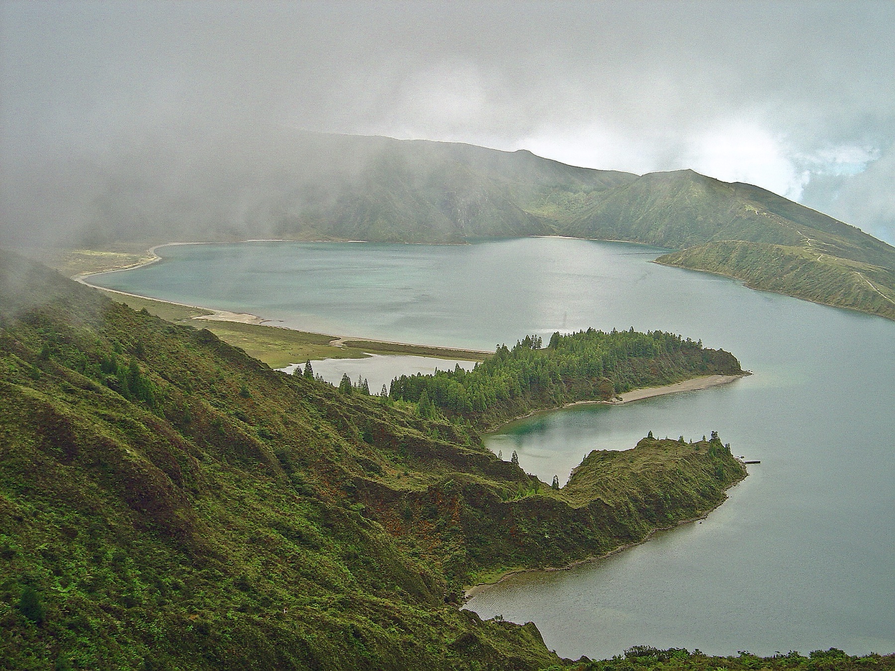
Lagoa do Fogo facts
- Location
- Central São Miguel
- Type
- Crater lake
- Known for
- Crater lake in a nature reserve
- Elevation
- 575 m above sea level
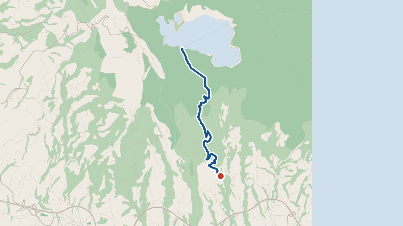
Getting there: The road reaches viewpoints above the lake. The PR02SMI walk starts at Parque Escutista dos Lagos.
Pico Santos · weather now
14.7°C
Observed , Azores time · IPMA
Lake and crater
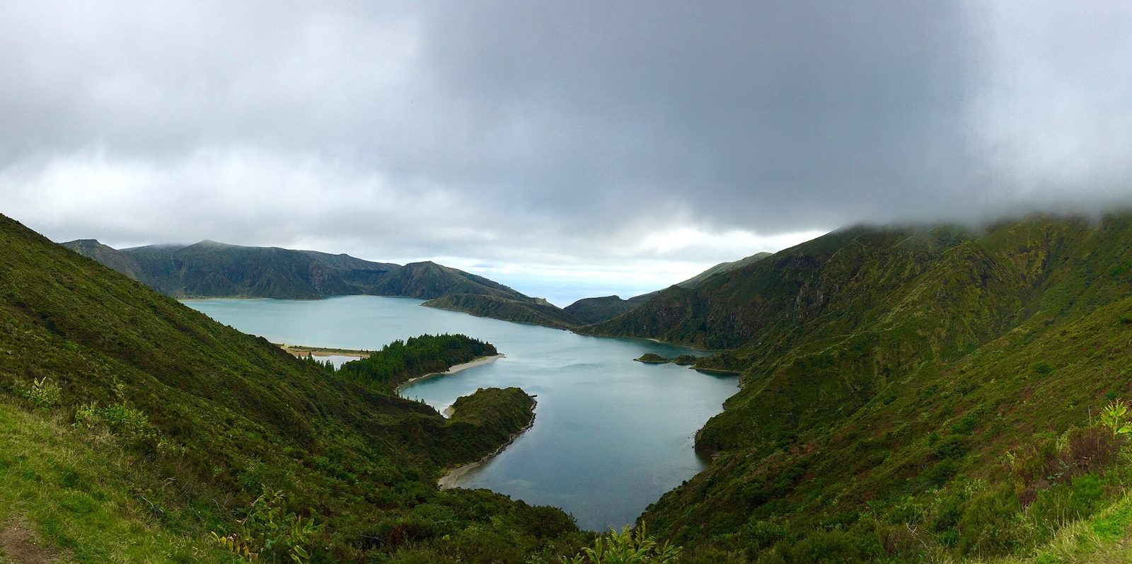
Lagoa do Fogo sits inside the Água de Pau crater. Its shores are 575 m above sea level. No buildings are allowed around the lake.
- Lagoa do Fogo
- Crater lake with a beach on its northern shore
- Pico da Barrosa
- Crater rim at about 949 m
- Água de Pau Massif
- Volcano surrounding the crater lake
Questions about Lagoa do Fogo
How long is the Lagoa do Fogo hike?
The Lagoa do Fogo hike covers 10.2 km and takes about 4 hours. That distance includes the return journey. Follow PR02SMI to the southern shore, then return along the same path.
Where do you park for Lagoa do Fogo?
For the seasonal shuttle, park free at Caldeira Velha or Casa da Água. The car park at the lake viewpoint is reserved for residents, taxis and tour operators. Check the service's operating dates before setting off.
Is there a shuttle to Lagoa do Fogo?
Yes, a seasonal shuttle serves Lagoa do Fogo. The summer service ran from 1 August to 30 September 2026. Check the next operating dates before planning a shuttle trip.
Places near Lagoa do Fogo
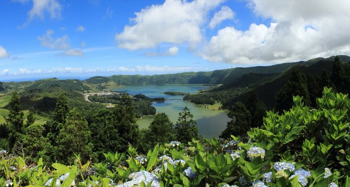
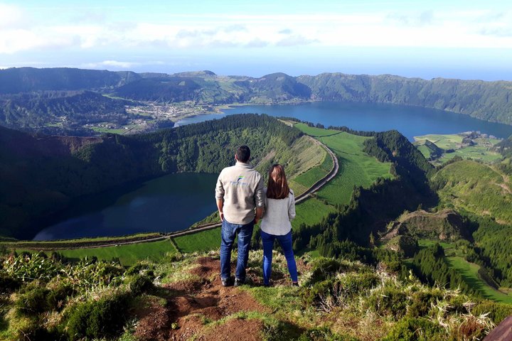
Sete Cidades
The lakes at Sete Cidades have hydrangeas growing above them.
50 minutes by car
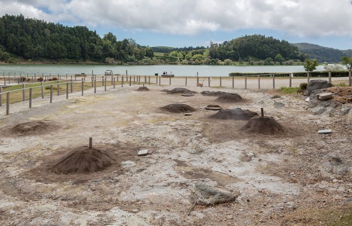
Furnas
Furnas has a lake with fumaroles beside it.
27 minutes by car from Lagoa do Fogo
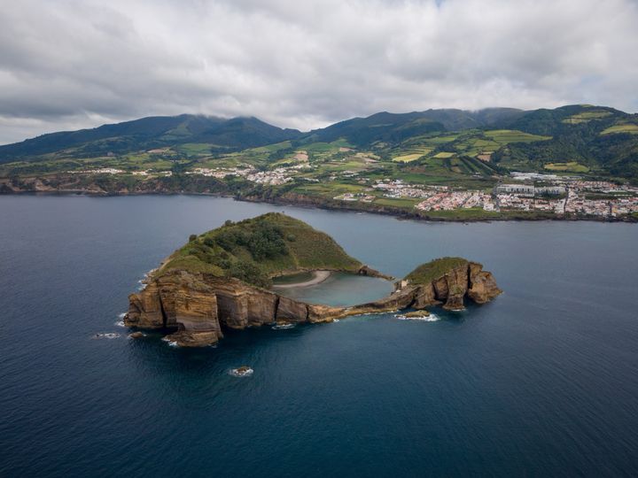
Vila Franca Islet
This crater islet lies off Vila Franca do Campo.
Drive to the pier at Vila Franca do Campo, then take the boat.
Roman Antonov, editor
I live in Portugal and I love these islands. The weather and walk status update automatically. I check tour prices when I reread the collection.