São Miguel
Lagoa do Fogo trail PR02SMI
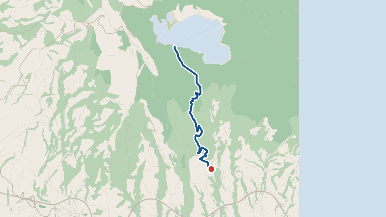
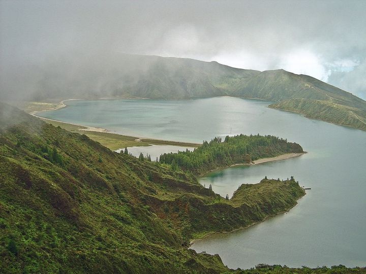
Lagoa do Fogo (PR02SMI) is an out and back walk on São Miguel. It starts beside Parque Escutista dos Lagos and reaches the lake’s southern shore.
The walk
The 10.2 km route goes out to the lake and back along the same path. It passes farmland and forest before crossing the Ribeira da Praia valley. Turn back at the lake’s southern shore.
Wear suitable footwear for the wet, muddy levada path. Stay on the marked trail.
What you'll see on the walk
Managed forest
Japanese cedar (Cryptomeria japonica) grows here.
Ribeira da Praia
The springs supply water to Ponta Delgada.
Lagoa do Fogo's southern shore
Seagulls nest here in April and May.
Vila Franca do Campo
The return walk has views of the town and its islet.
Getting to the start
Start beside Parque Escutista dos Lagos. You finish back at the start.
Pico Santos de Cima, São Miguel · weather now
14.7°C
Observed , Azores time · IPMA
Lagoa do Fogo map and GPX
The GPX track, the official trail page and directions to the start in Maps.
Closures and alerts
Trail status updates automatically twice a day. Check the latest Visit Azores alerts before you walk. Read the official route page for any section restrictions. See the alerts page →
Questions about Lagoa do Fogo
How long is the Lagoa do Fogo hike?
The Lagoa do Fogo hike takes about 4 hours over 10.2 km. This covers the full PR02SMI round trip. It begins beside Parque Escutista dos Lagos. You return along the same path.
What is the best hike in São Miguel?
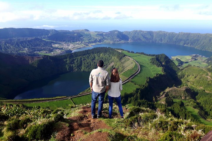
I'd choose Vista do Rei for views of the Sete Cidades lakes. The walk starts at the viewpoint. It finishes in Sete Cidades village. Arrange your return before you set off.
Roman Antonov, editor
I live in Portugal and I love these islands. Trail status updates twice a day from Visit Azores alerts. The date shows our last check. Use “Check the status now” before you walk.