Santa Maria
Pico Alto trail on Santa Maria PRC02SMA
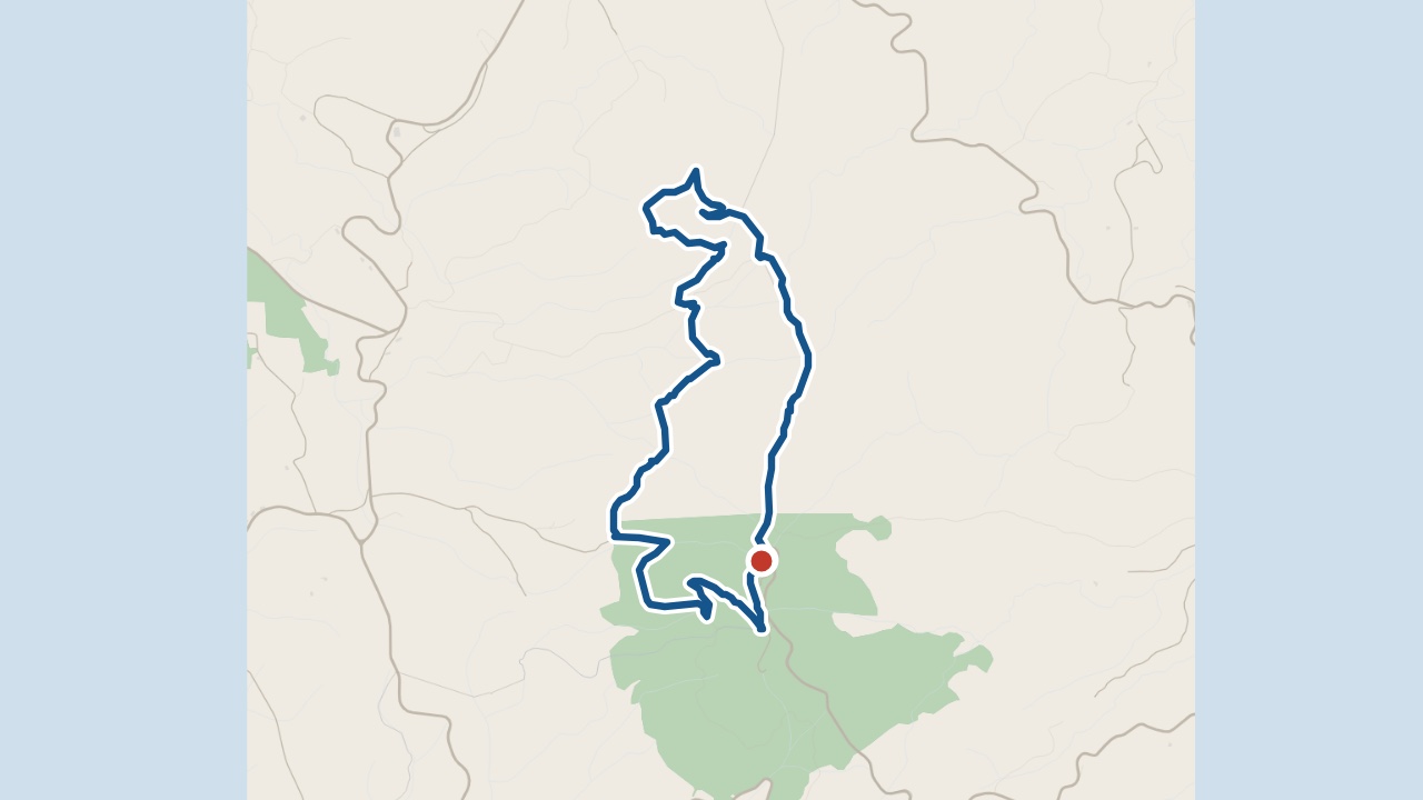
Pico Alto (PRC02SMA) is a marked circular walk through forest on Santa Maria. It starts at Pico Alto car park and reaches the island's highest point.
The walk
Climb the steps beside the military building for views over Santa Maria. Return to the car park, then follow the dirt lane north. The route descends through forest before heading towards Alto Nascente. A path used by forest workers climbs back past the memorial.
Large Japanese cedar trees grow along the dirt lane. The undergrowth includes viburnum trees and Azores blueberries. Steps beside the military building reach Pico Alto at 587 m. This is the island’s highest point.
What you'll see on the walk
Pico Alto
Steps beside the military building reach the island's highest point.
Japanese cedar woodland
The forest also has viburnum trees (Viburnum treleasei) and Azores blueberries (Vaccinium cylindraceum).
Caldeira viewpoint
A detour leads to views of Santa Maria’s west coast.
Plane crash memorial
The final climb passes a monument to the victims of a plane crash here.
Getting to the start
Start at Pico Alto car park. The circular walk returns here.
Praia Formosa · weather now
19.1°C
Observed , Azores time · IPMA
Pico Alto map and GPX
The GPX track, the official trail page and directions to the start in Maps.
Closures and alerts
Trail status updates automatically twice a day. Check the latest Visit Azores alerts before you walk. Read the official route page for any section restrictions. See the alerts page →
Another place on Santa Maria
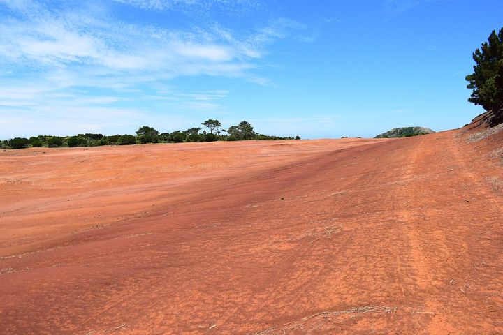
Barreiro da Faneca
A plateau of red clay in the north-west of Santa Maria, known as the red desert, a protected landscape.
Roman Antonov, editor
I live in Portugal and I love these islands. Trail status updates twice a day from Visit Azores alerts. The date shows our last check. Use “Check the status now” before you walk.