São Miguel
Sanguinho trail PRC09SMI
Sanguinho (PRC09SMI) is a circular walk on São Miguel. It starts near Faial da Terra’s bus stop and reaches Salto do Prego waterfall.
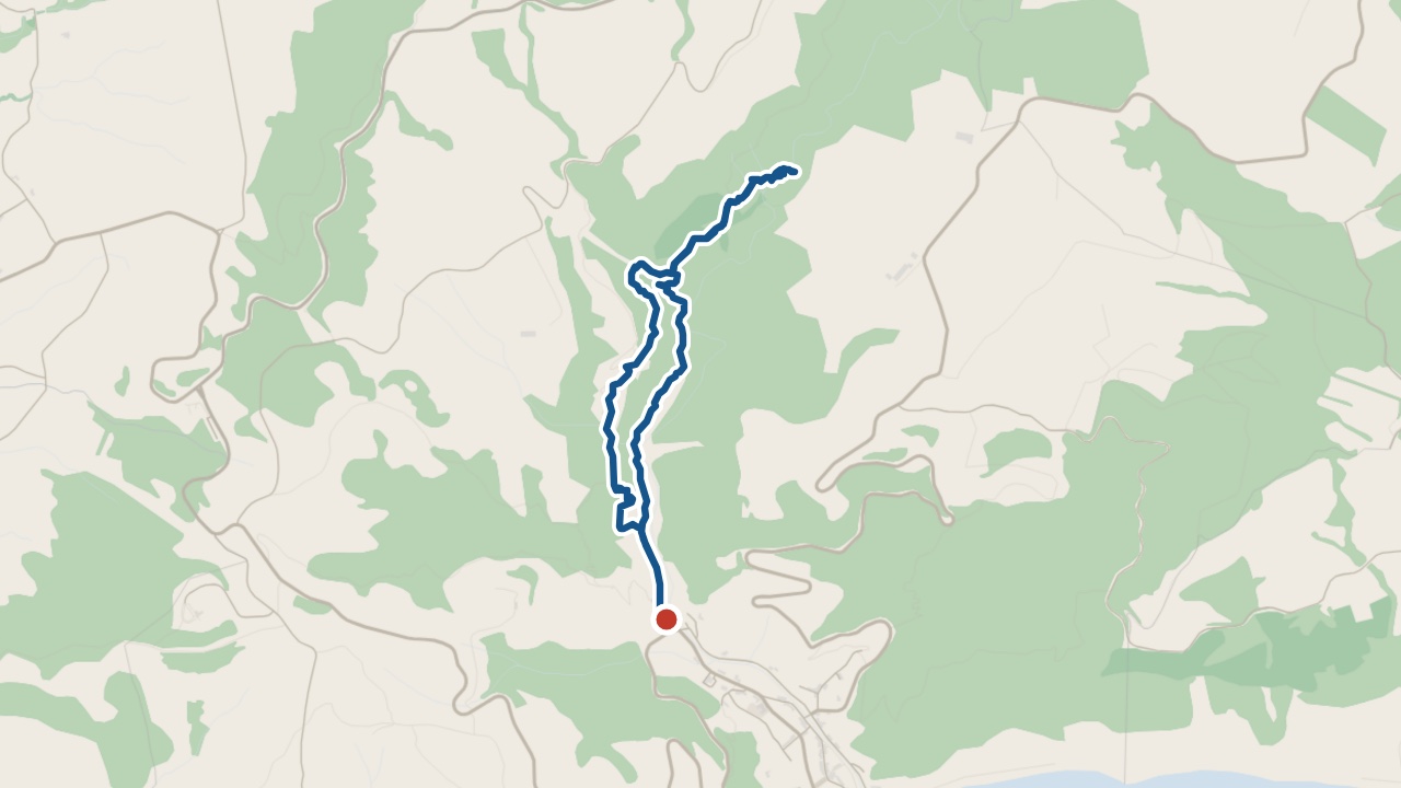
The walk
The loop climbs beside the stream. Cross the bridge towards Salto do Prego. Retrace the waterfall spur to the junction for Aldeia do Sanguinho. The return descends through the village.
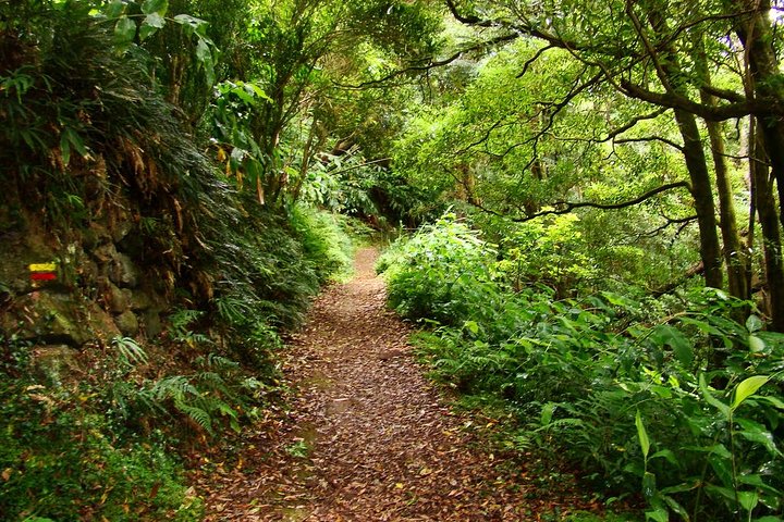
Dirt paths run through trees before the steep, slippery stone-paved descent. Wear walking shoes with grip and carry drinking water.
What you'll see on the walk
Streamside orchards
Small family orchards line the stream.
Salto do Prego waterfall
The path reaches the waterfall’s base.
Aldeia do Sanguinho
Buckthorn (Frangula azorica) grows among the village’s houses and small farms.
Getting to the start
Start near the bus stop in Faial da Terra.
S. Miguel, Nordeste · weather now
18.1°C
Observed , Azores time · IPMA
Sanguinho map and GPX
The GPX track, the official trail page and directions to the start in Maps.
Closures and alerts
Check the regional trail network’s closure alerts before walking. The status above carries its check date: use “Check the status now” for current information. See the alerts page →
Waterfall on the Sanguinho trail
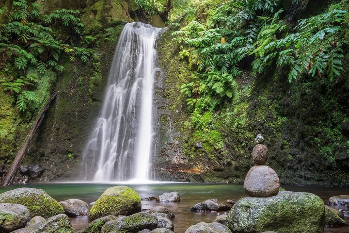
Salto do Prego
Salto do Prego is a forest waterfall above Faial da Terra.
Questions about Sanguinho
How long is the Salto do Prego hike?
The Salto do Prego hike takes about 2 hours over 4.6 km. That covers the full Sanguinho loop. You start in Faial da Terra. I'd allow extra time at the waterfall.
Roman Antonov, editor
I live in Portugal and I love these islands. Trail status updates twice a day from Visit Azores alerts. The date shows our last check. Use “Check the status now” before you walk.