São Miguel
Rota da Água to Janela do Inferno trail PRC37SMI
Rota da Água to Janela do Inferno (PRC37SMI) is a circular walk from Casa da Água in Remédios. It reaches the springs at Janela do Inferno.
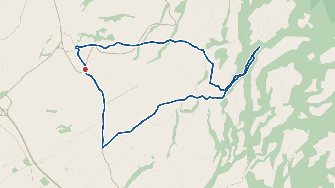
The walk
The 7.6 km loop takes around 2 hours 30 minutes. Follow ribeira Seca to Janela do Inferno. Return past the aqueducts on the opposite bank. Cross the regional road carefully before returning through Remédios.
Dirt tracks and roads pass through fields and shaded woodland. Bring a torch for the tunnels. Wear walking boots and carry drinking water.
What you'll see on the walk
Lagoa and Ponta Delgada
The outward climb gives views towards Lagoa and Ponta Delgada.
Janela do Inferno
Water has carved a cavity into the wall above a natural pond.
Aqueducts
The return passes aqueducts once used by the Alcohol Factory of Lagoa.
50 m tunnel
The last tunnel once carried water as an aqueduct.
Getting to the start
Drive from Ponta Delgada to Casa da Água in Remédios. Use “Open the start in Maps” for directions.
Santana · weather now
19.3°C
Observed , Azores time · IPMA
Rota da Água to Janela do Inferno map and GPX
The GPX track, the official trail page and directions to the start in Maps.
Closures and alerts
Check the regional trail network’s closure alerts before walking. The status above carries our check date, and conditions can change. See the alerts page →
Janela do Inferno
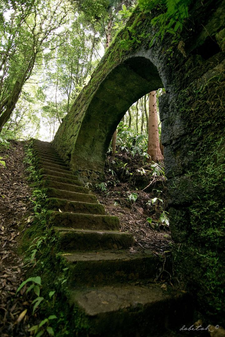
Janela do Inferno
Water has carved a cavity in Janela do Inferno’s rock wall.
Roman Antonov, editor
I live in Portugal and I love these islands. Trail status updates twice a day from Visit Azores alerts. The date shows our last check. Use “Check the status now” before you walk.